Showing posts with label family fun. Show all posts

Saturday, September 28, 2013

The California Condor

The California Condor
Gypsus californianus

The California Condor is an endangered species. It is one of my favorite animals. This amazing bird has a 9 1/2 feet wing span. The crop that is a red spot on its chest stores food, because they eat dead carcasses. They can ride the thermals and don't have to flap there wings for about a hour. One of the most easiest ways to identify a Condor is that they have white in the front of there wings and the Turkey Vulture as the white in the back of the wings. The 49ers killed the birds and used the feathers to put gold, because the feathers are hollow. 

Being Parents 

The parents lay one egg at a time and take turns incubating the egg.  54 days of to incubat the egg. The parents spend 1 year or more with the chick. That means only 1 chick every other year.

I meant to post this when we went to Utah, but I got to busy seeing the sights I forgot to post it. So it is late, sorry. Life is always busy and it never turns out the way you want it to. 

Tuesday, April 23, 2013

Fun Facts about Grand Canyon and the Colorado River

1. The Grand Canyon is still getting bigger every year. The canyon widens 5 sheets thick of paper each year and gets deeper 1 sheet thick of paper every year.
2.The Mississippi drops 6 inches for every mile as it travels to the ocean, and the Colorado drops 8-9 feet for every mile.
3. There is 20-25 feet of snow every year on the north rim, and only 10-12 inches on the south rim.
4. The north rim eroded away from the canyon faster then the south rim.
5. Grand Canyon was the second site to have California Condor released.
6. 76 California Condors are now in the Grand Canyon.

Monday, April 22, 2013

DUDE! Can You Identify the Layers of the Grand Canyon?

Dude completely tells you how the Grand Canyon was made. Deposition, Uplift, Downcutting, and Erosion all have to work together to make a canyon and they have to work in the order listed below.

Deposition - layers of sediment and organic material
Uplift - when the oceanic plate pushed under the continental plate (Colorado Plateau)
Downcutting - downward erosion by rivers that deepen the channel
Erosion - weathering by wind and water

Identifying the Layers

1. Granite veins (pink) is called schist and is at the bottom of the canyon
2. Limestone is white but looks red because it is porous and iron collects in the holes and is later oxidized
3. Sandstone is the white ring called the bathtub ring
4. Mudstone is the sloping layer of the canyon because when mud gets wet, it slowly slides off in a slope


Sunday, June 10, 2012

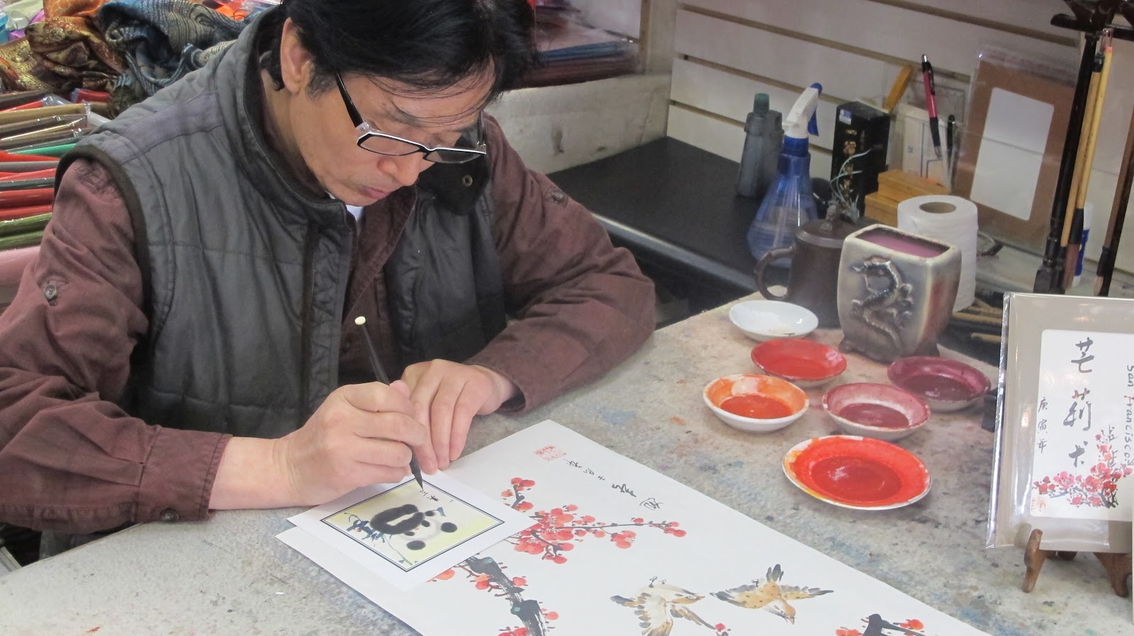
Chinatown :: June 2012

今天我们在唐人街。我喜欢唐人街。今天天气刮风和晴朗。我和两中国人说话。我买了熊猫画。我也买了一个洋娃娃。


Dragonfruit / Pitaya /  Huŏlóng guŏ  火龙果

我也买了一个火龙果。火龙果很好很好。它有小黑色树籽,它也是白色。它是甜甜的。


This is the dragon fruit flower (close-up) and the dragon fruit ripe on the tree.
Photo from   Dragonfruit Pictures


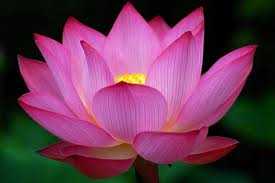
The Lotus / Liánhuā  莲花


图片里有五个人。


再见!

Monday, September 26, 2011

Dog Creek Falls

Dog Creek Falls is a creek 30 min north of Redding that feeds into the Sacramento River. It has a beach of river rocks that have very cool colors and shapes. I found a rock that I call the leaf rock because it looks like a leaf and another rock that is shaped like a nail.
At Dog Creek there is also a natural slide into a small pool. Is that cool or what?  It was too cold for me to slide down the natural slide but I did find a frog.  A little later, my brother was trying to catch a baby water strider and when he couldn't, he threw the plastic tub towards me but it landed in the river and it was gone before we could get it.  We both felt very bad.  We didn't mean to litter.  When we come next time, we are going to pick up the trash that others left.

This is how you get there:
First, you get on the freeway that heads north until you come to Exit 707,  then take it. Come to the end of the exit and turn left.  Continue under the freeway until you get to a street called Fender Ferry Road.  Turn left onto Fender Ferry, drive approximately two miles across three bridges, and then park. Follow a trail downstream of the bridge.  Caution! The road to get there is a bumpy, dirt road.